Click here to register for the webinar!
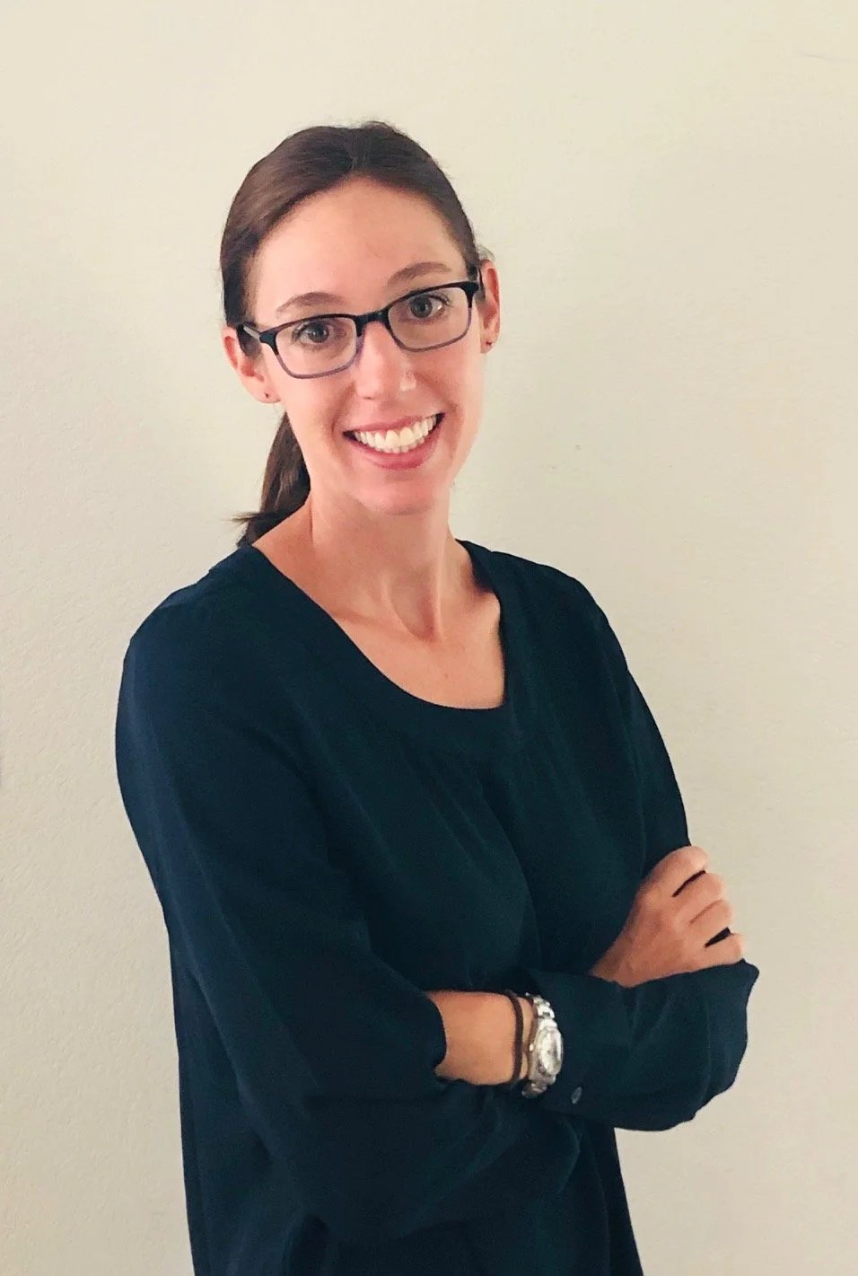
Bio: Dr. Melanie Vanderhoof is a Research Geographer with the U.S. Geological Survey, Geoscience and Environmental Change Science Center based in Denver, Colorado. She received her PhD in Geography from Clark University, Worcester, MA in 2014. After a Post-Doc with the U.S. Environmental Protection Agency, she joined the U.S. Geological Survey in 2015. She uses satellite imagery to understand how ecosystems change over time. Her research focuses on, 1) improving our ability to track changes in the quantity and distribution of surface water across the landscape and understanding how climate extremes and climate change impact wetland, lake and river dynamics, as well as 2) tracking wildfire extent, severity, and patterns of post-fire recovery.
Talk Abstract: Frequent observations of surface water at fine spatial scales are critical to support the management of aquatic habitat, flood risk and water quality. We developed two surface water algorithms, one using Sentinel-1 as its base dataset, and the second using Sentinel-2 as its base dataset. We will present the surface water algorithms as well as research applications of the surface water algorithms including, (1) predicting how climate change will impact the range of surface water conditions across the U.S. Midwest, (2) characterizing how surface water storage in wetlands and lakes impacts the response of stream discharge to wet and dry conditions across the conterminous U.S., and (3) quantifying how water management actions along the Mississippi River, impact floodplain wetland dynamics.

