Content
The MAGIC Map Gallery

The Effects of 3 Environmental Factors on Rare, Threatened, or Endangered Fish Species in the Cumberland Plateau by Ally Nawrocki
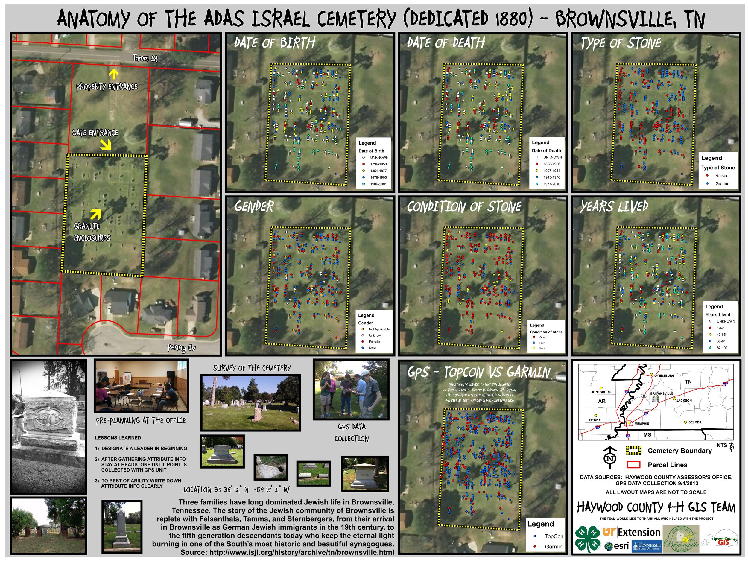
Anatomy of the Adas Israel Cemetery (Dedicated 1880) - Brownsville, TN by the Haywood County 4-H GIS Team
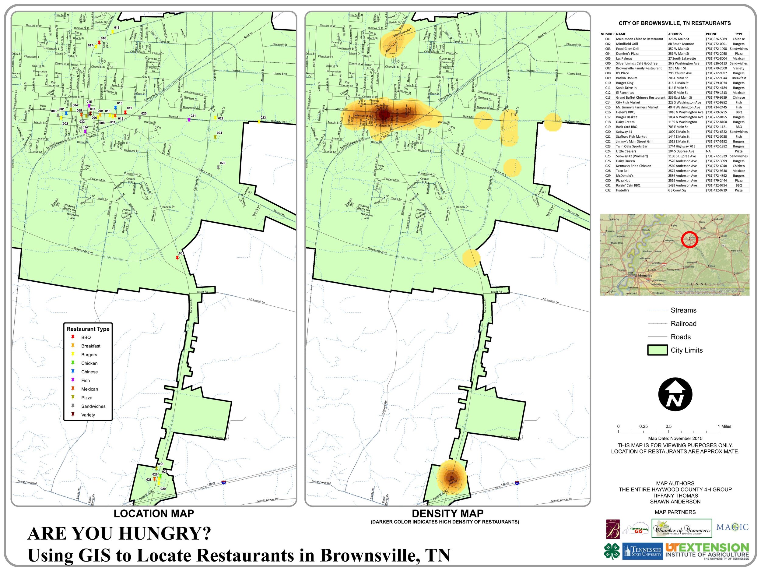
Are You Hungry? Using GIS to Locate Restaurants in Brownsville, TN by the entire Haywood County 4H Group, Tiffany Thomas, and Shawn Anderson
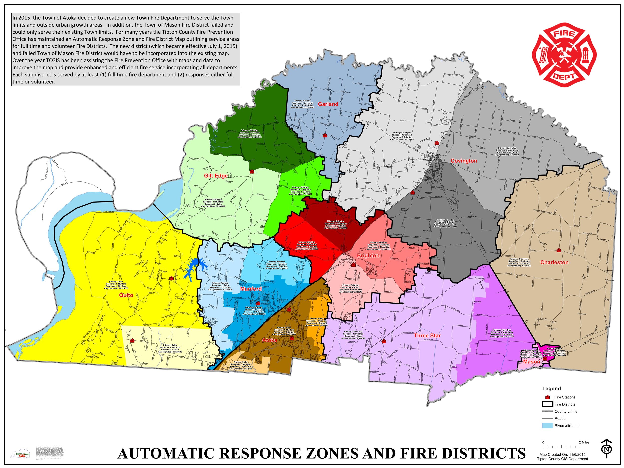
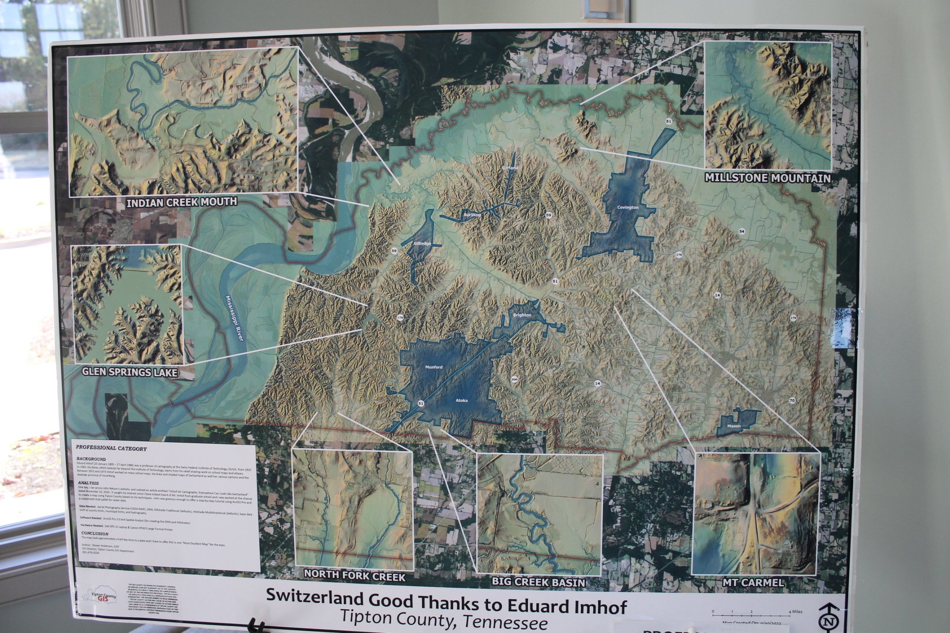
Automatic Response Zones and Fire Districts by the Tipton County GIS Department
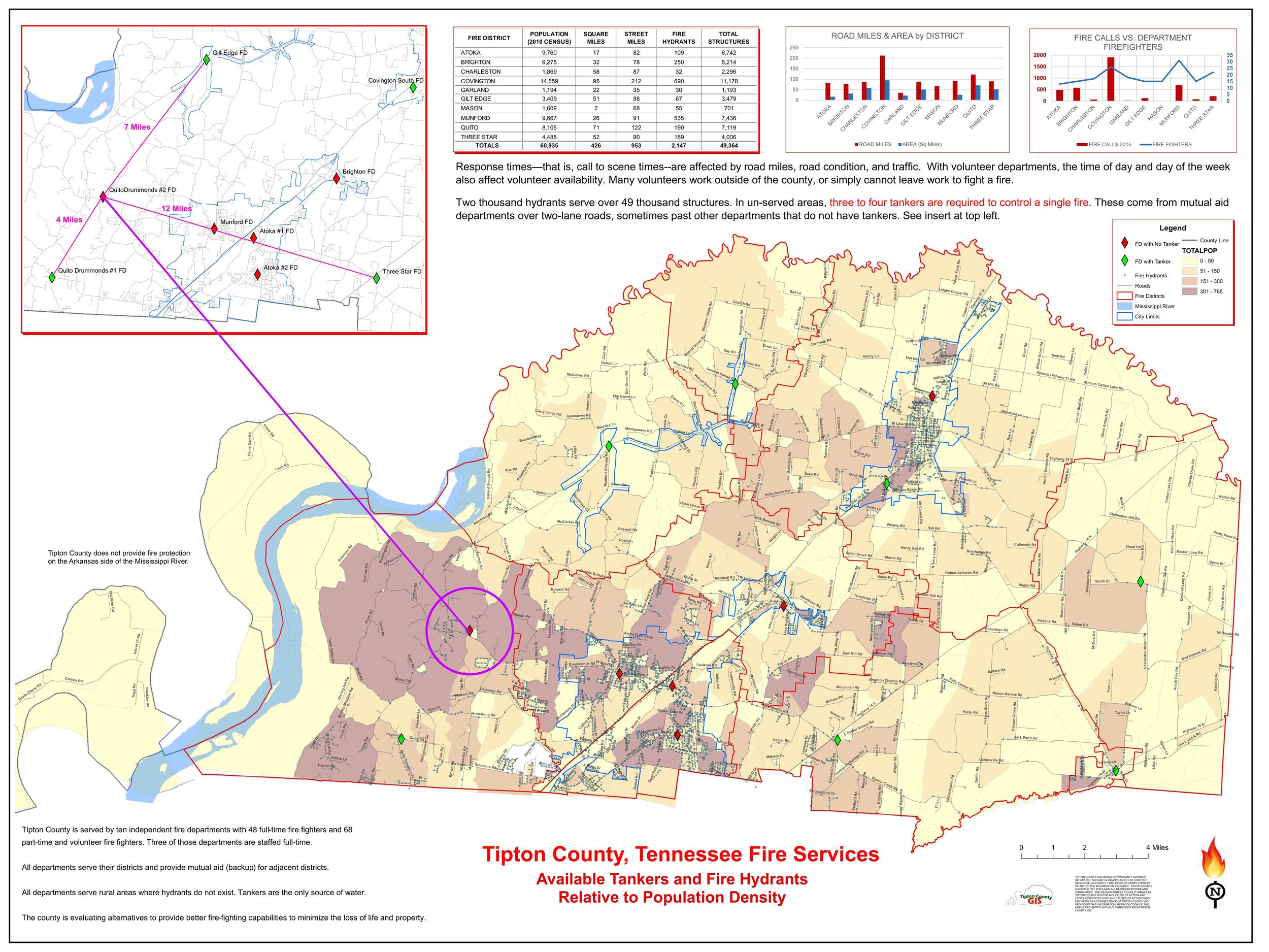
Tipton County, Tennessee Fire Services Available Tankers and Fire Hydrants Relative to Population Density by the Tipton County GIS Department
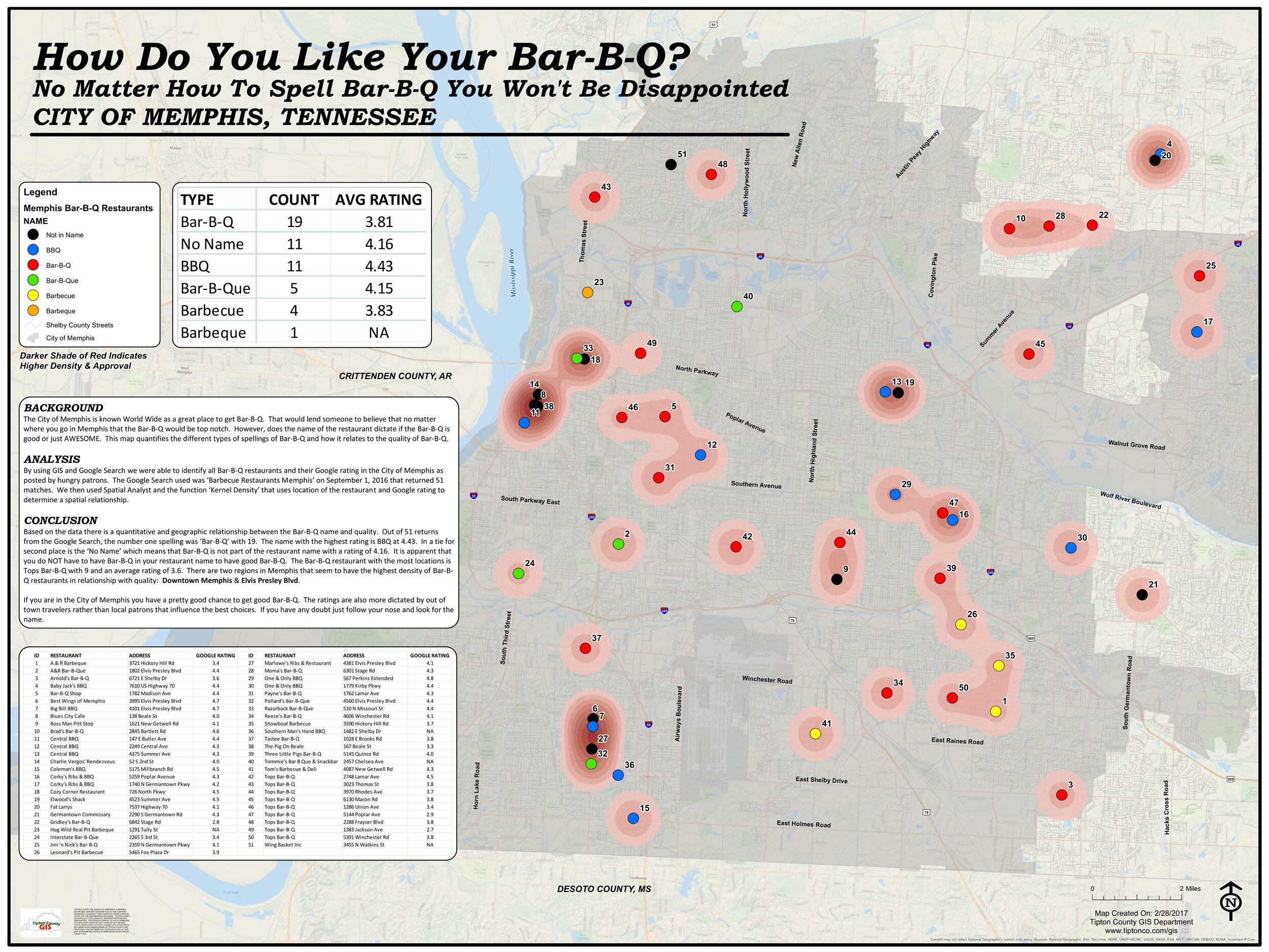
How Do You Like Your Bar-B-Q? No Matter How To Spell Bar-B-Q You Won't Be Disappointed City of Memphis, TN by the Tipton County GIS Department
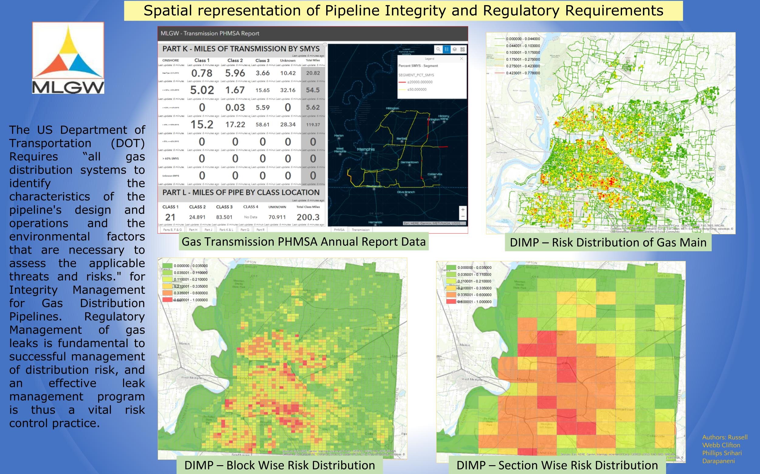
Spatial representation of Pipeline Integrity and Regulatory Requirements by Srihari Darapaneni, Russell Web, and Clifton Phillips.
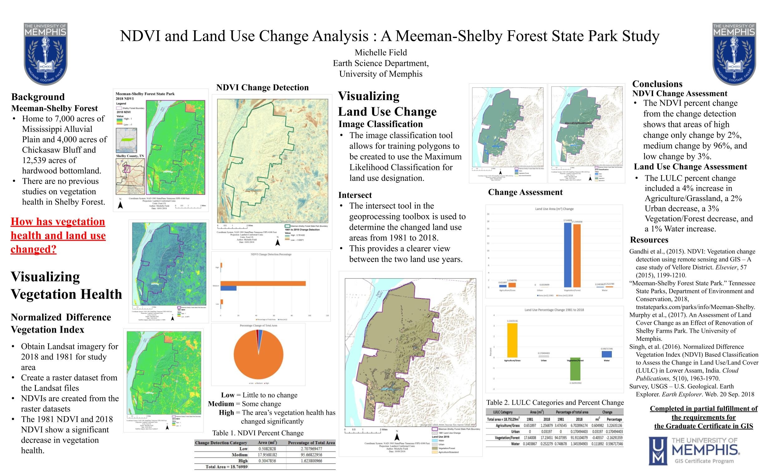
NDVI and Land Use Change Analysis: A Meeman-Shelby Forest State Park Study by Michelle Field
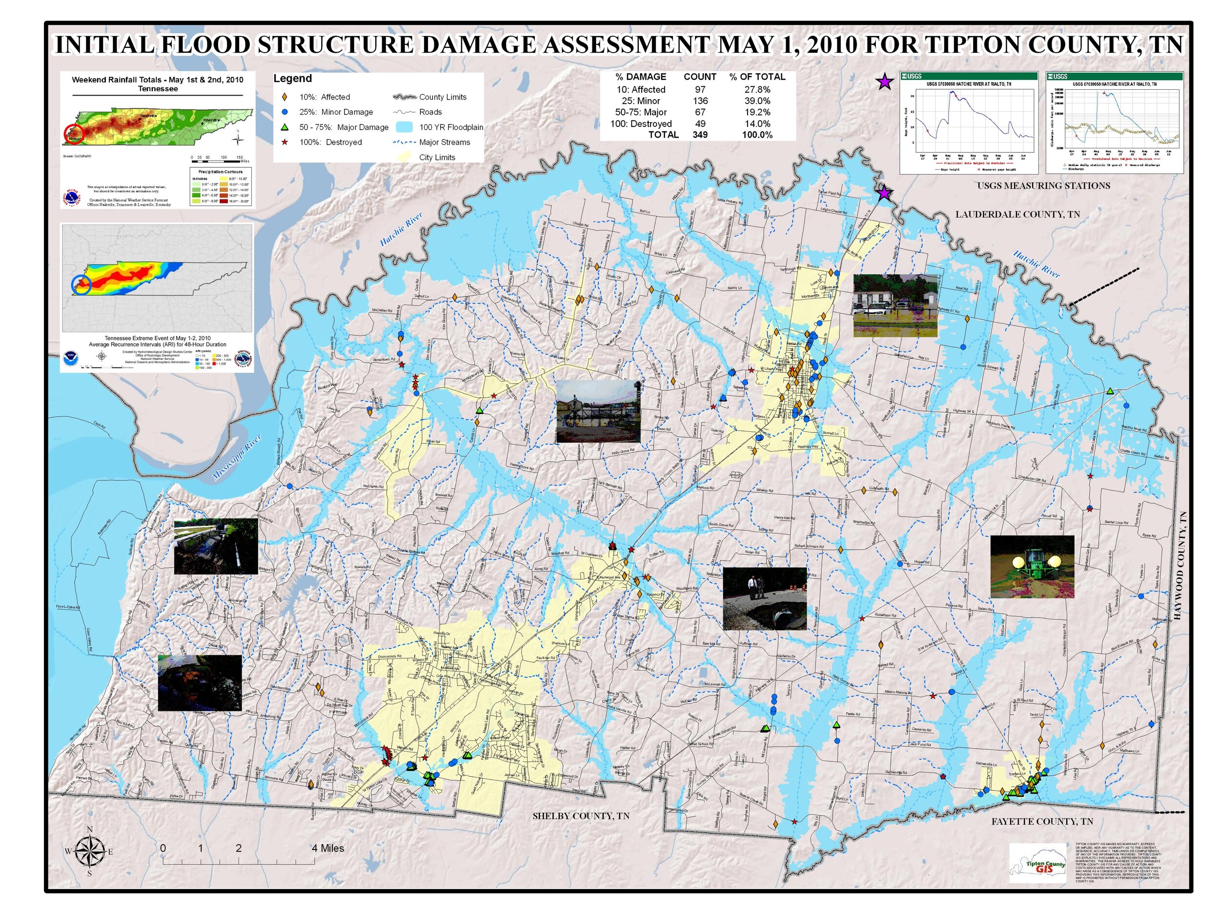
Initial Flood Structure Assessment May 1, 2020 for Tipton County, TN by the Tipton County GIS Deparment
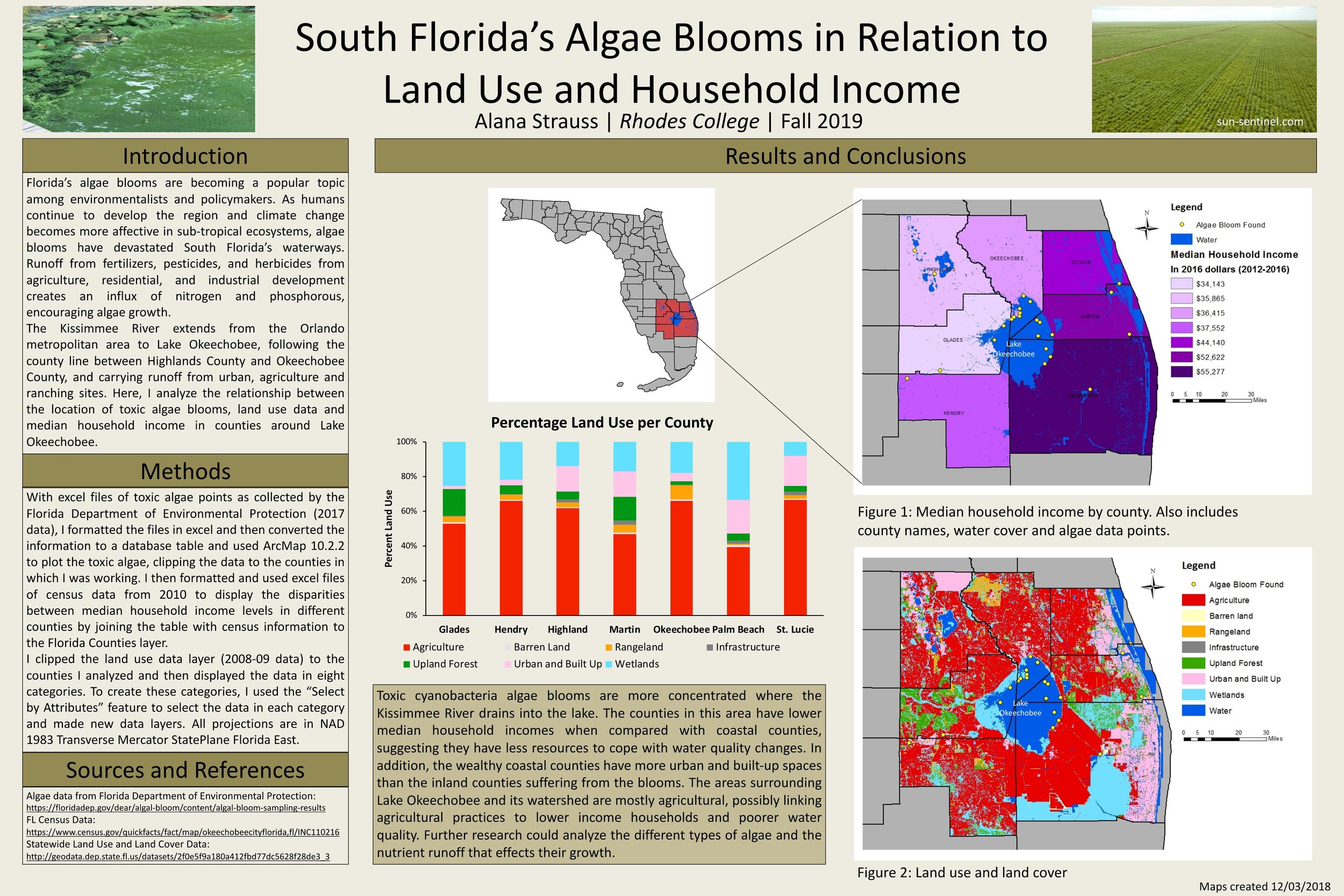
South Florida's Algae Blooms in Relation to Land Use and Household Income by Alana Strauss
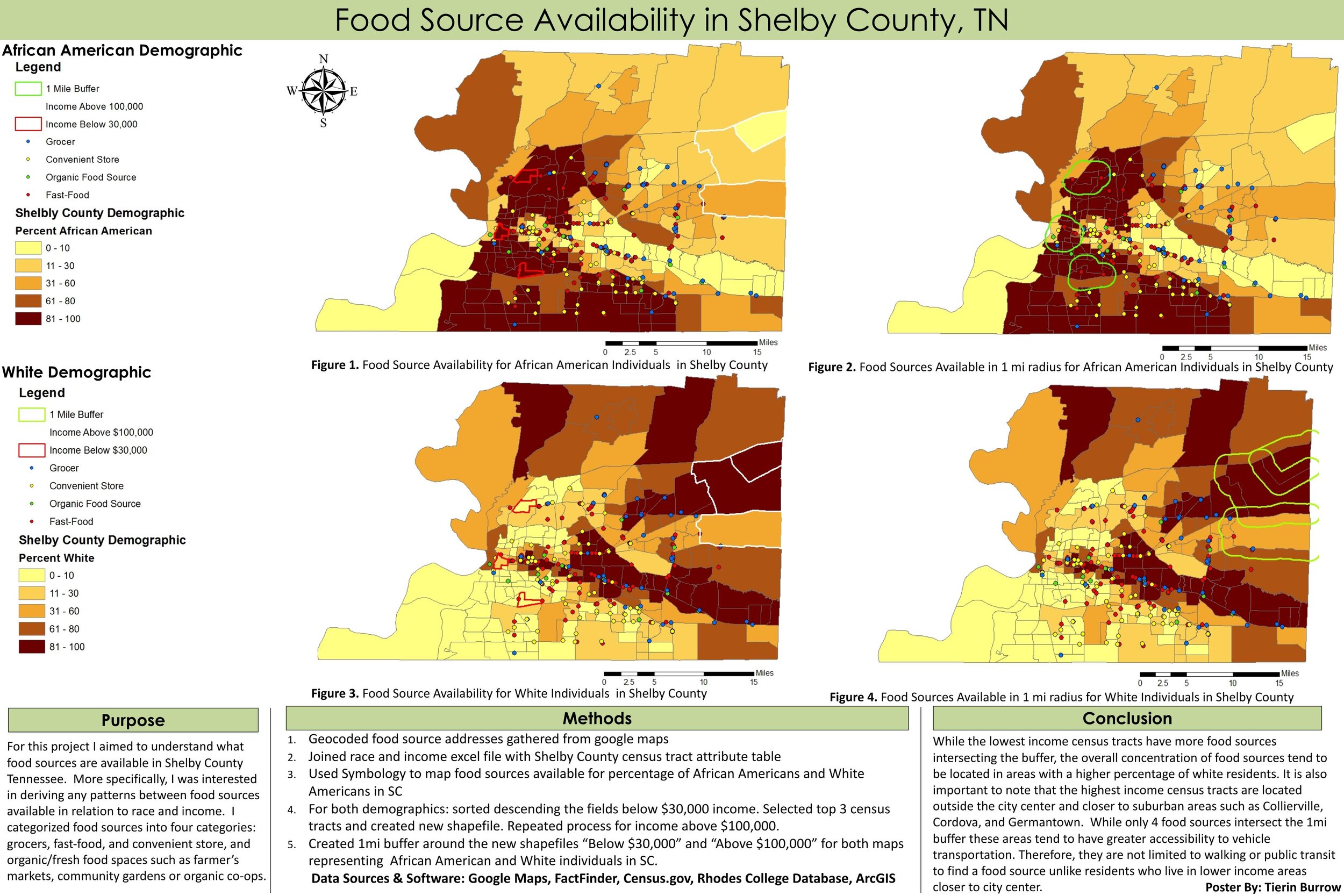
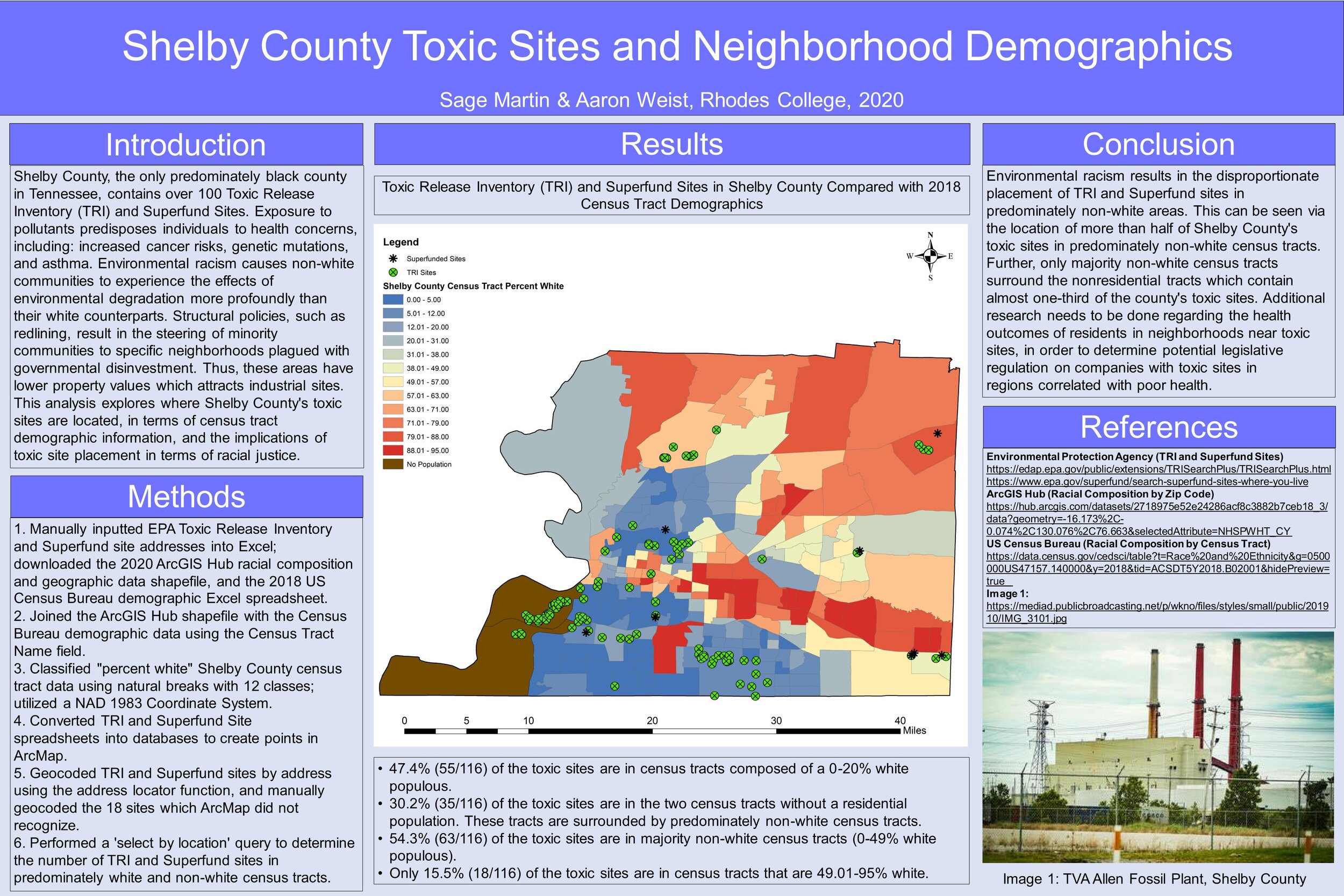
Food Source Availability in Shelby County, TN by Tierin Burrow
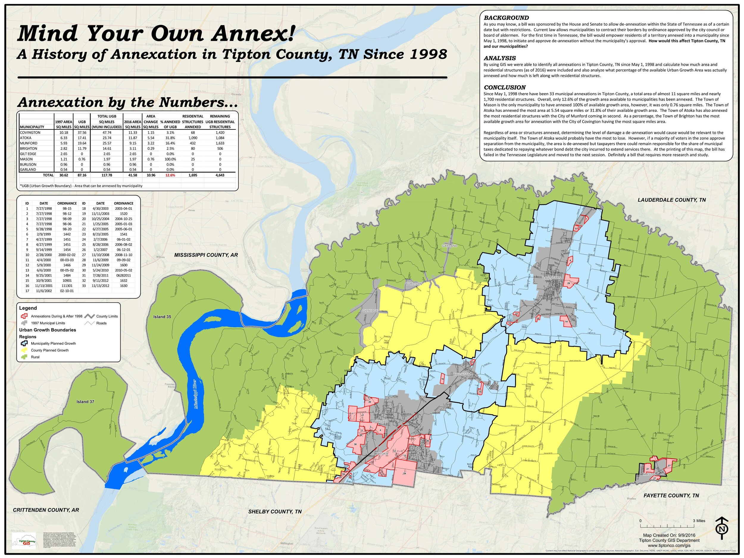
Mind Your Own Annex! A History of Annexation in Tipton County, TN Since 1998 by the Tipton County GIS Department
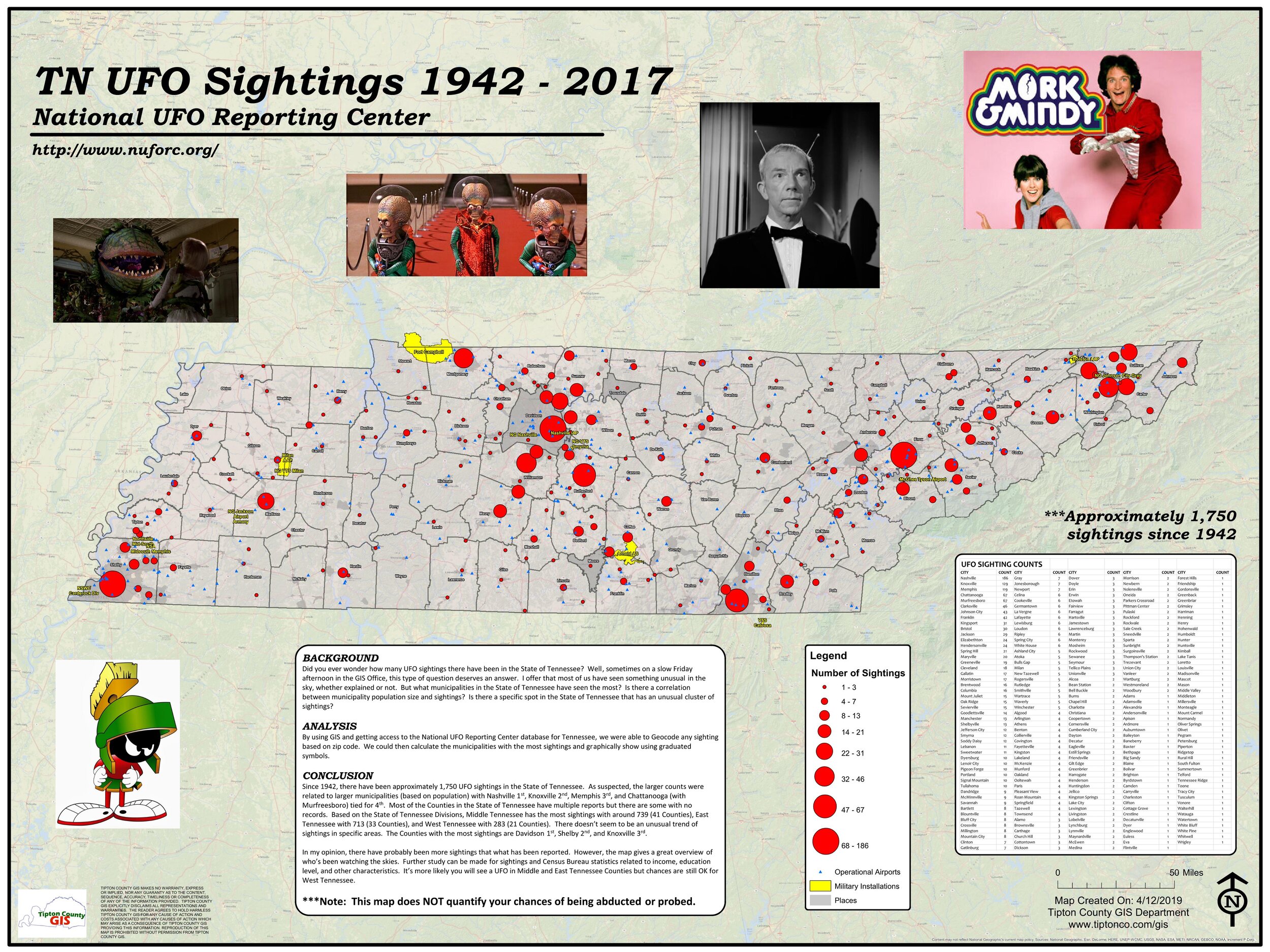
TN UFO Sightings 1942-2017 National UFO Reporting Center by the Tipton County GIS Department


Calendar
News
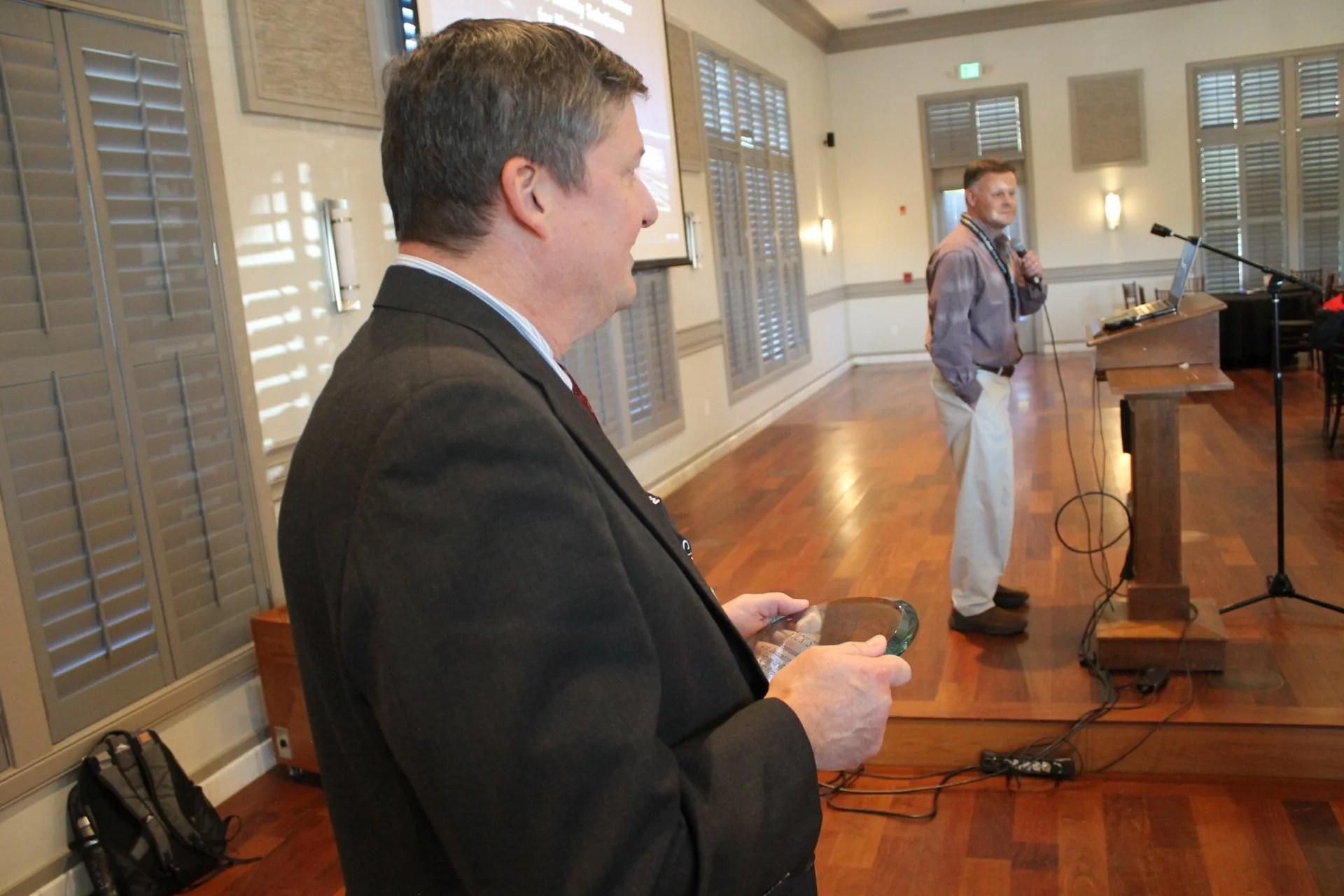
The 24th Annual MAGIC Conference celebrated creativity and technical expertise in cartography during its highly anticipated Map Gallery Competition. This year’s first-place winners — Andrew Humphreys, a Geospatial Analyst at City of Olive Branch, and Fatemeh Ghobadpour, a graduate student at University of Memphis — were recognized for their exceptional work in the professional and student categories respectively. The first-place winners each received a $150 prize. Additionally, the MAGIC Board of Directors surprised attendees with a last-minute announcement of second- and third-place awards of $75 and $50 for the student category, taking into consideration the increased number of student entries in this year's contest. Chi Nguyen, an undergraduate student at Rhodes College, finished in second place, while two Delta State University undergraduate students — Ilayda Hacioglu and Manel Capangpangan — tied for third place.
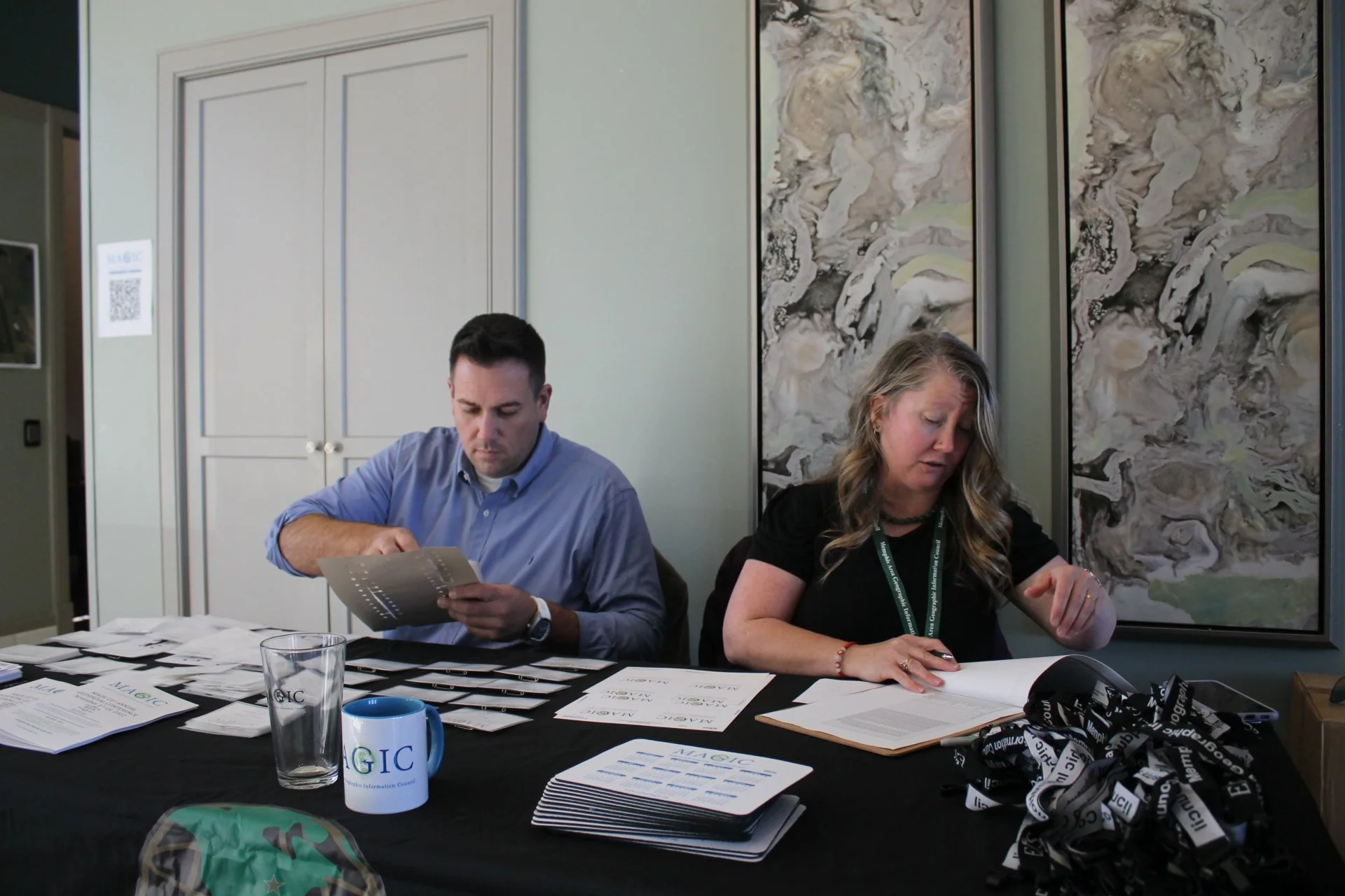
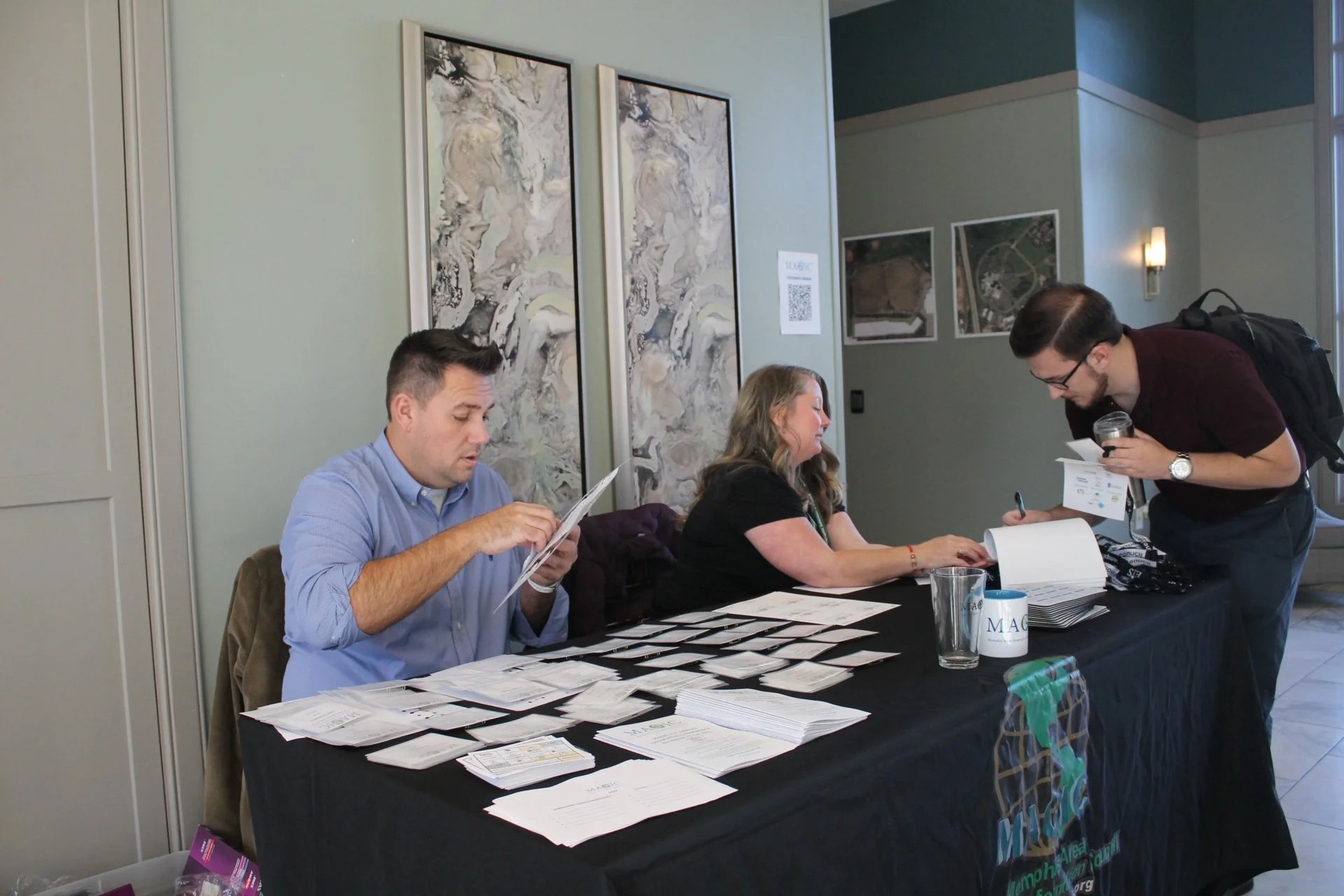
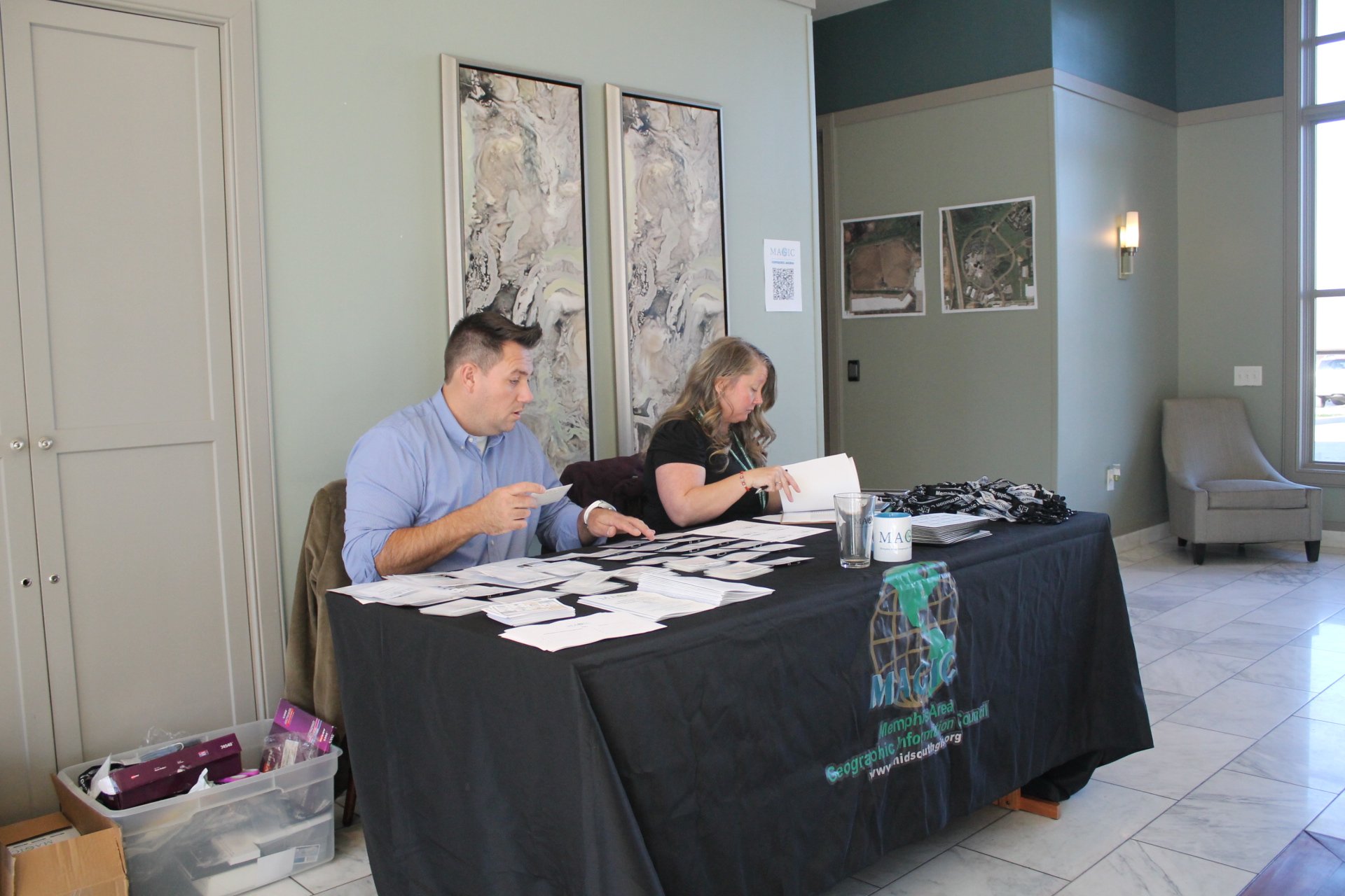
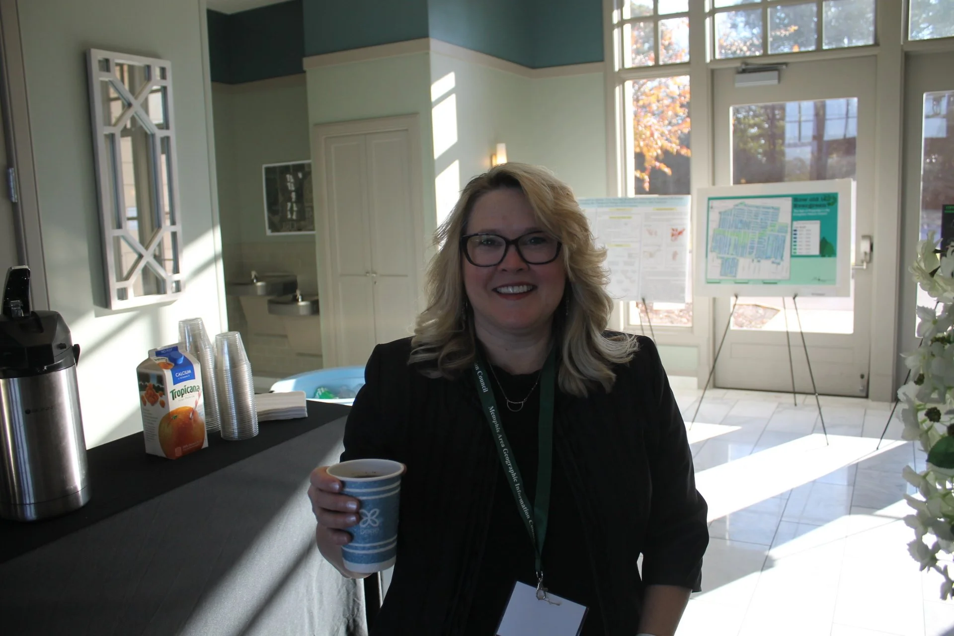
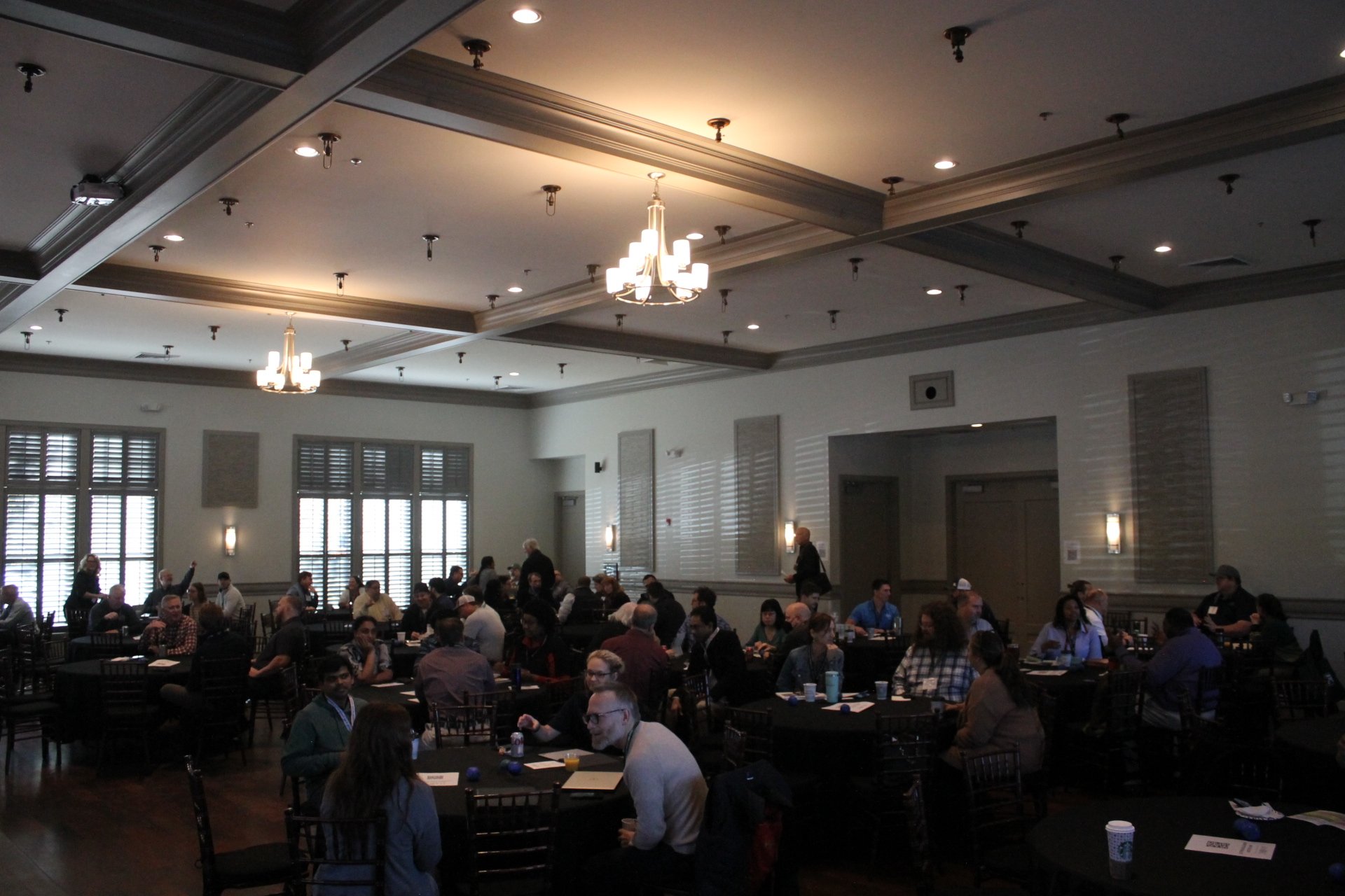
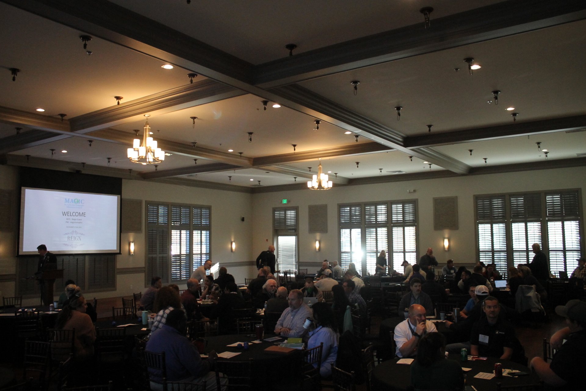
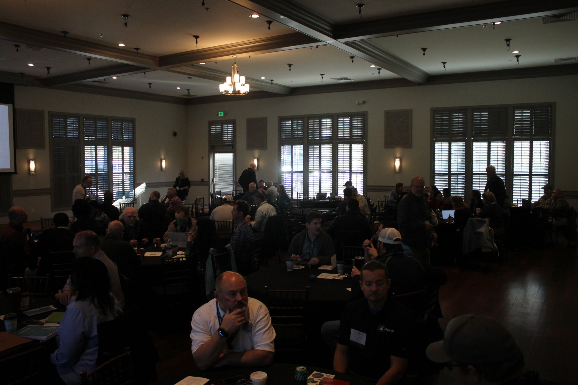
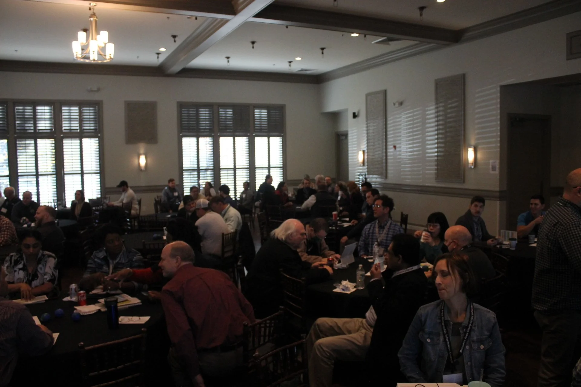
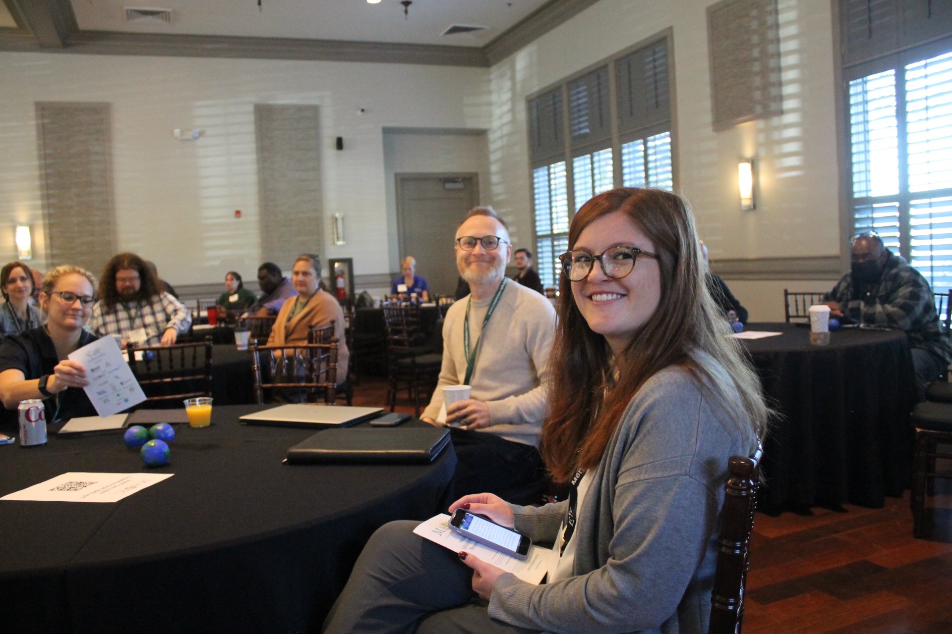
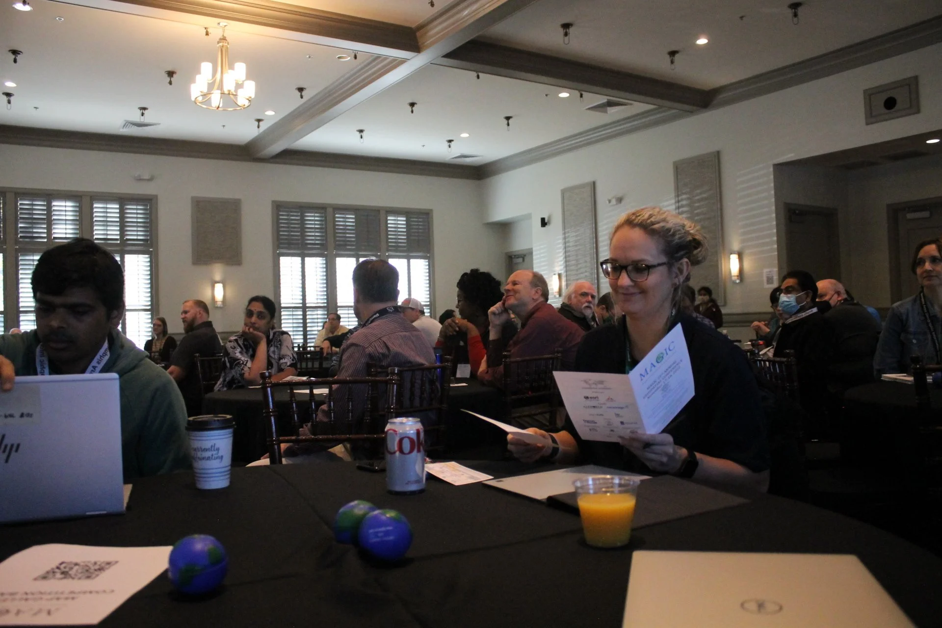
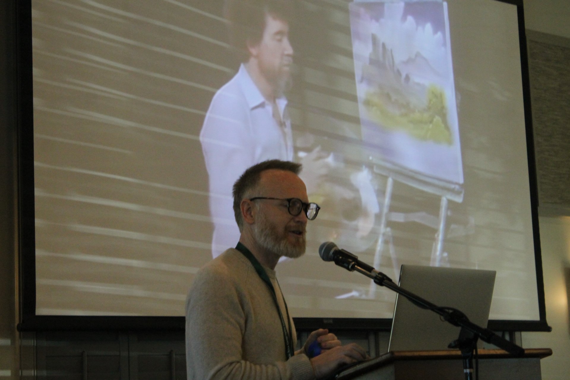
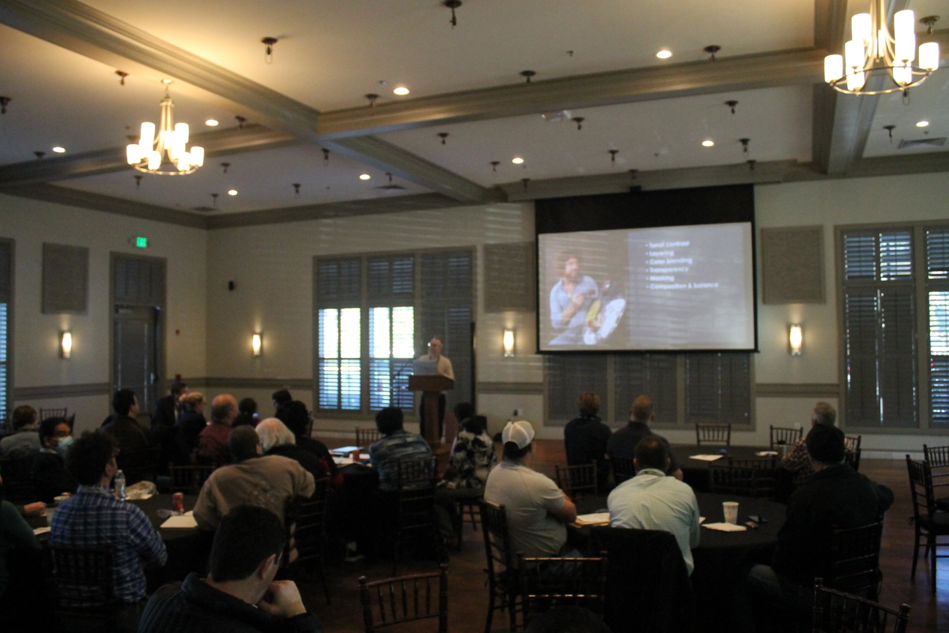
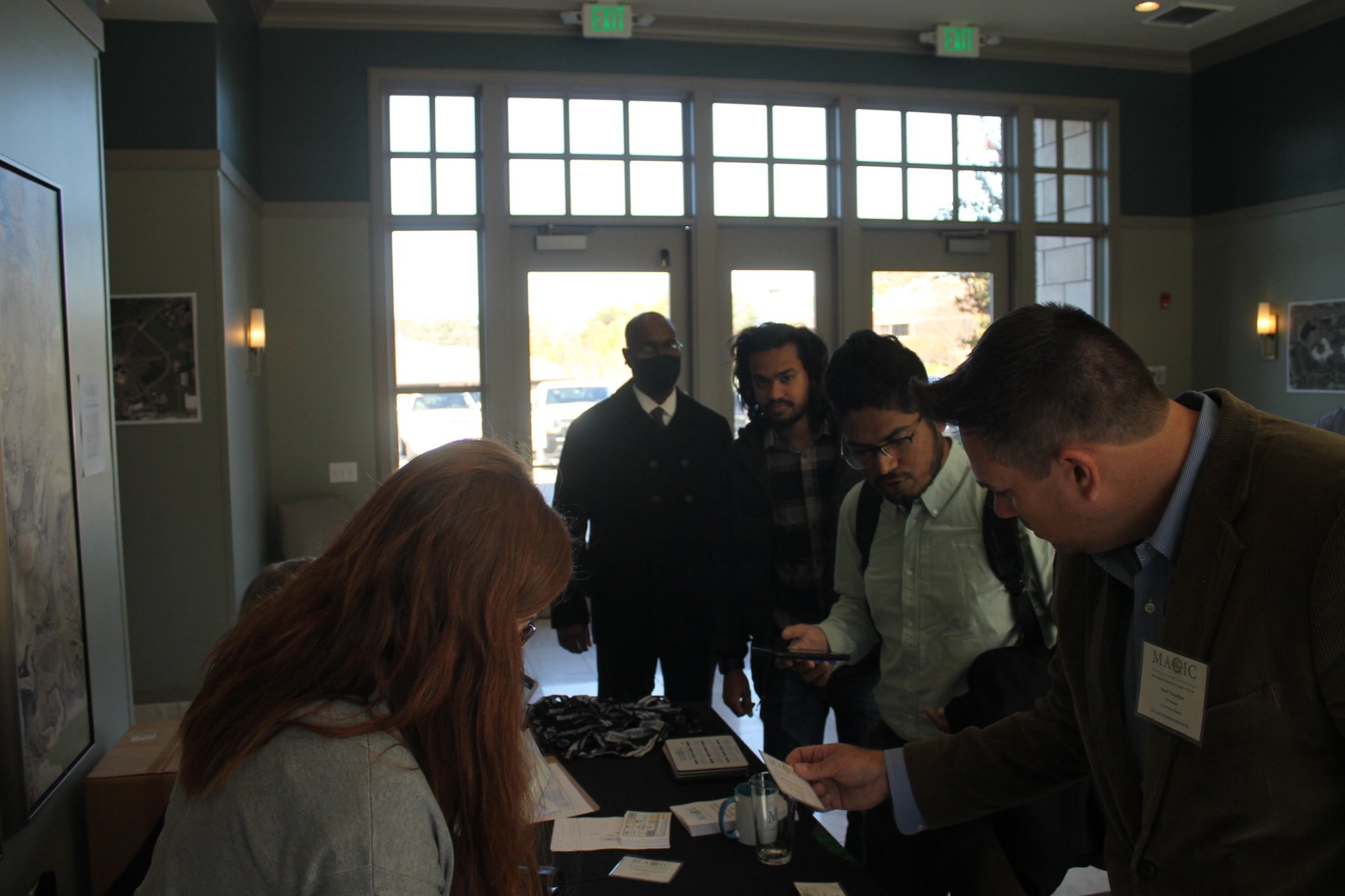
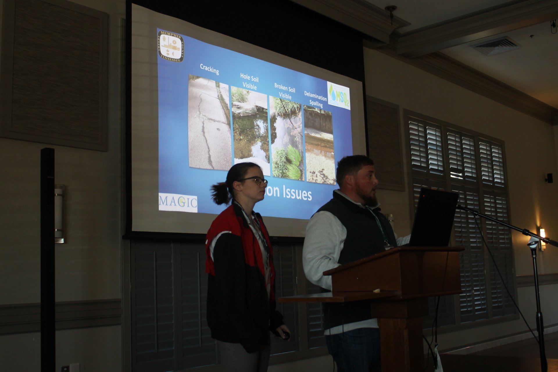
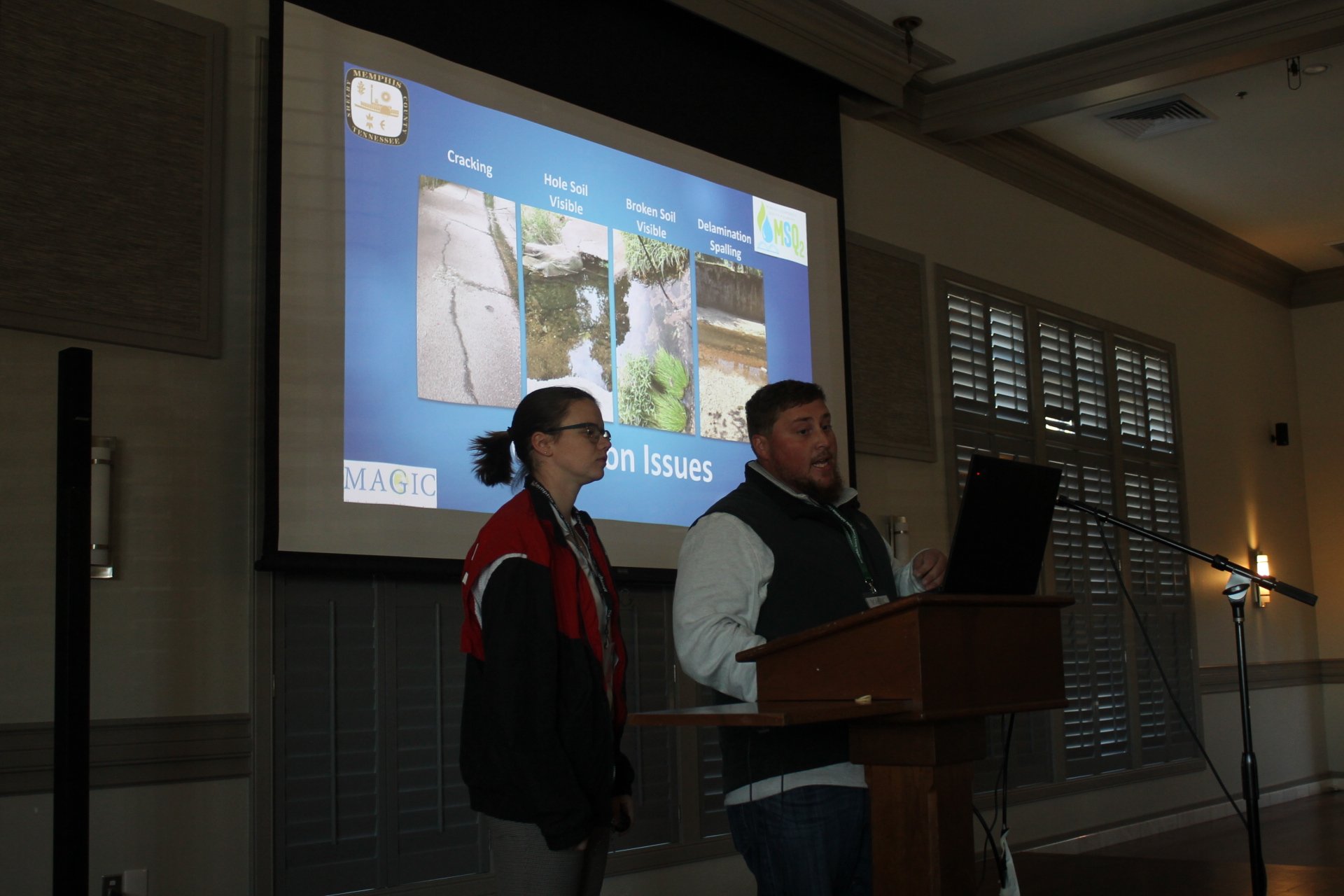
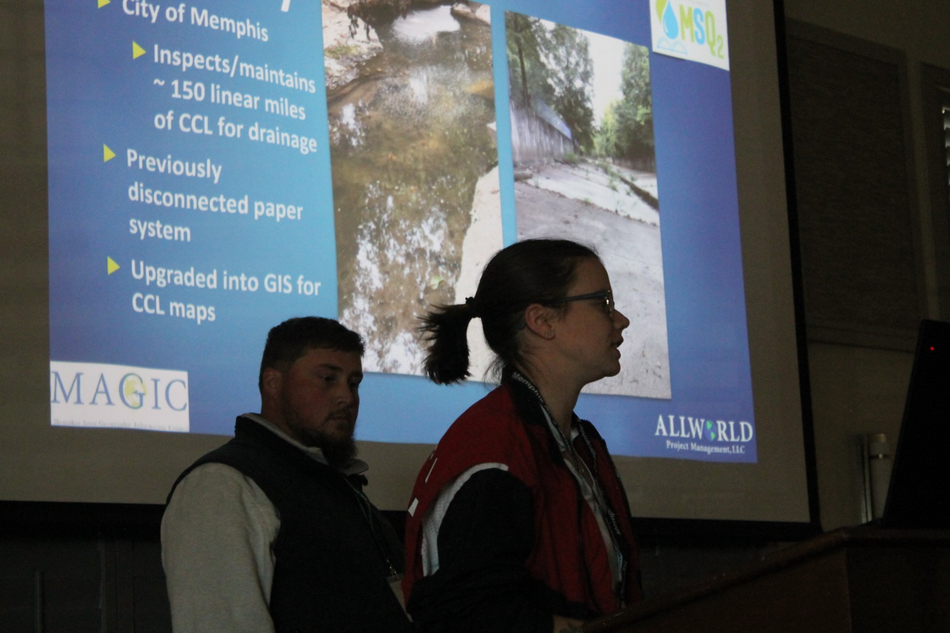
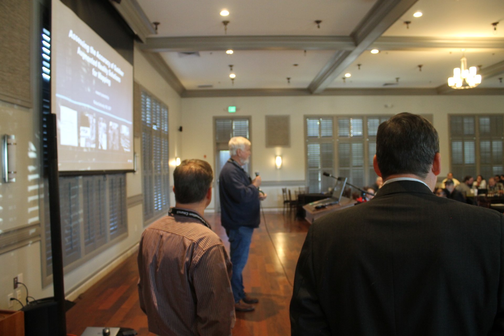
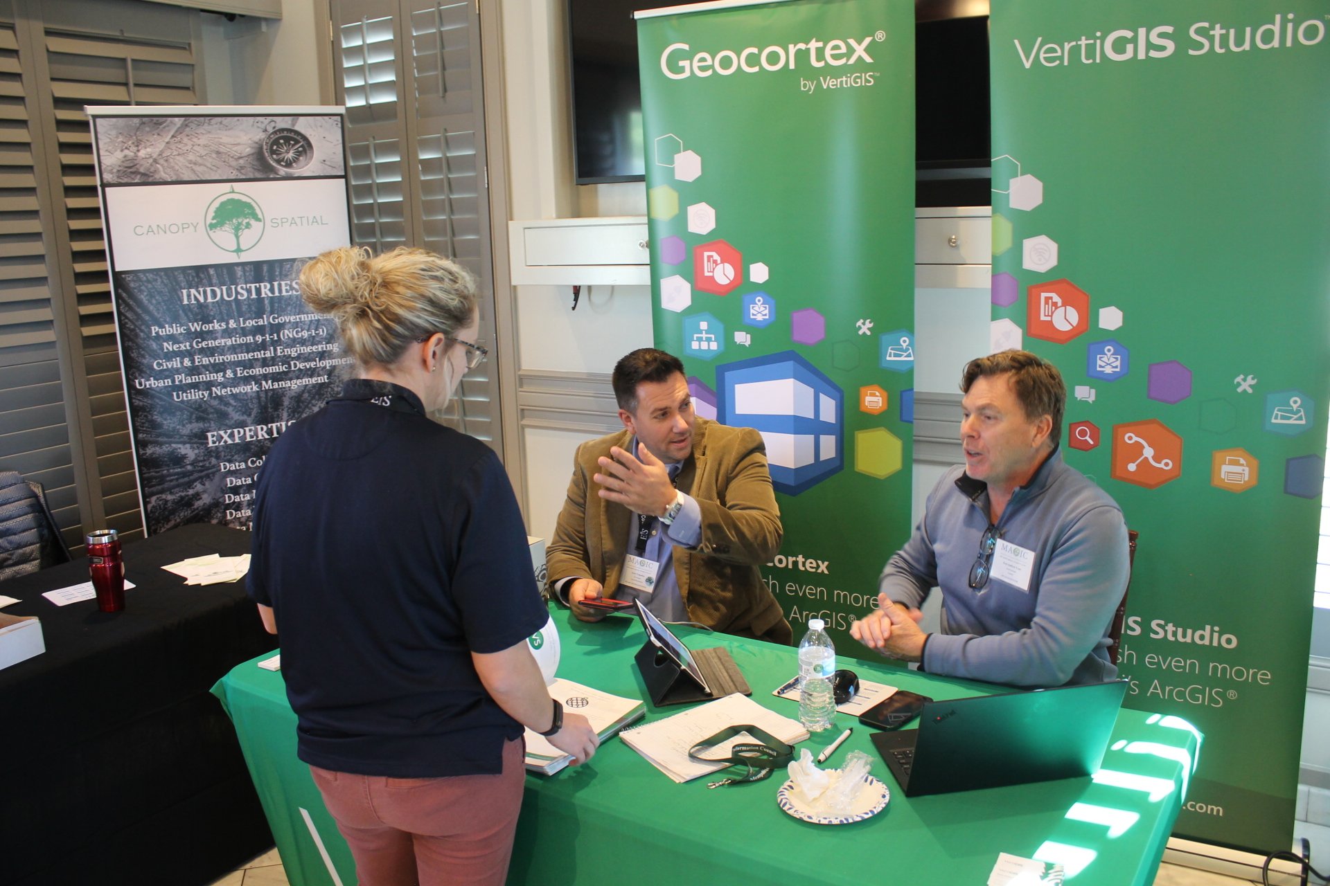
More than 100 geospatial professionals and students convened on November 20-21 for the 24th Annual MAGIC Conference, a premier gathering focused on advancing Geographic Information Systems (GIS) and related technologies. Held at Reign Event Venue in Memphis, the event showcased the transformative power of GIS in advancing innovation, operational efficiency, public engagement, and community well-being. From the integration of generative and agentic AI into mapping workflows to the adoption of drones and digital field tools modernizing utility operations, the sessions demonstrated how organizations are leveraging GIS to improve decision-making and service delivery. Attendees explored applications spanning emergency response, public health, environmental justice, open data transparency, historic preservation, and conservation storytelling. Through lessons in project management and examples from local governments, utilities, and nonprofits, the program underscored a shared mission: using GIS to turn data into insight, insight into action, and action into meaningful impact for the communities we serve.
It was our great pleasure to award $3,500 in scholarships and awards at the 2nd Annual Memphis Area Collegiate Geospatial Showcase, which took place last Friday, April 25, at Rhodes College. Memphis area students submitted presentation abstracts on GIS-related school projects to compete for the awards, and seven finalists gave 15-minute presentations at the Showcase event. The first place finishers in each category (undergrad and graduate) won $1,500, and the runners-up each won $250.
First Place:
Samantha Supan (Undergraduate, Rhodes College) - Examining Air Quality in Southwest Memphis
Jayanta Biswas (Graduate, University of Memphis) - Exploring the relationship between road improvements, employment, and land development in Tennessee
Runners-Up:
Shannen Alack (Undergraduate, Rhodes College) - Mapping Heat: Analyzing the Impact of Building Materials and Vegetation on Land Surface Temperature in Urban Areas
Fatima Ghobadpour (Graduate, University of Memphis) - Identifying Areas with Poor Connectivity to Transportation Networks Using Deep Learning and GIS
The event also featured a panel discussion focused on GIS skills and careers. A panel of GIS professionals from both the public and private sectors fielded questions and shared their advice and experiences with the student audience.
Panelists:
Uday Banu Burrey - GIS Developer/Team Lead, Memphis Light, Gas, & Water (MLGW)
Adrena Nelson - GIS Analyst, Allworld Project Management
Dr. Kate Shields - Assistant Professor of Environmental Studies and Sciences, Rhodes College
Scott Trapolino, GISP - GIS Manager, City of Olive Branch
We are grateful to our panelists for generously donating their time, to Rhodes College for hosting the event, and to our sponsors for making this all possible.
We are pleased to announce the finalists for the the 2nd annual Memphis Area Collegiate Geospatial Showcase!
Undergraduate:
Shannen Alack (Rhodes College)
Alice Hale (Rhodes College)
Lorenzo Martinez (Rhodes College)
Dylan Morris (Rhodes College)
Samantha Supan (Rhodes College)
Graduate:
Jayanta Biswas (University of Memphis)
Fatemeh Ghobadpour (University of Memphis)
The showcase event offers an opportunity for college undergraduate and graduate students to demonstrate their GIS proficiency to an audience of GIS professionals in order to earn financial assistance towards their education and/or research, thanks to our generous members and sponsors. In this year’s event, MAGIC will grant $3,500 in scholarships and/or awards (depending on the student’s eligibility) in a competition open to both undergraduate and graduate students.
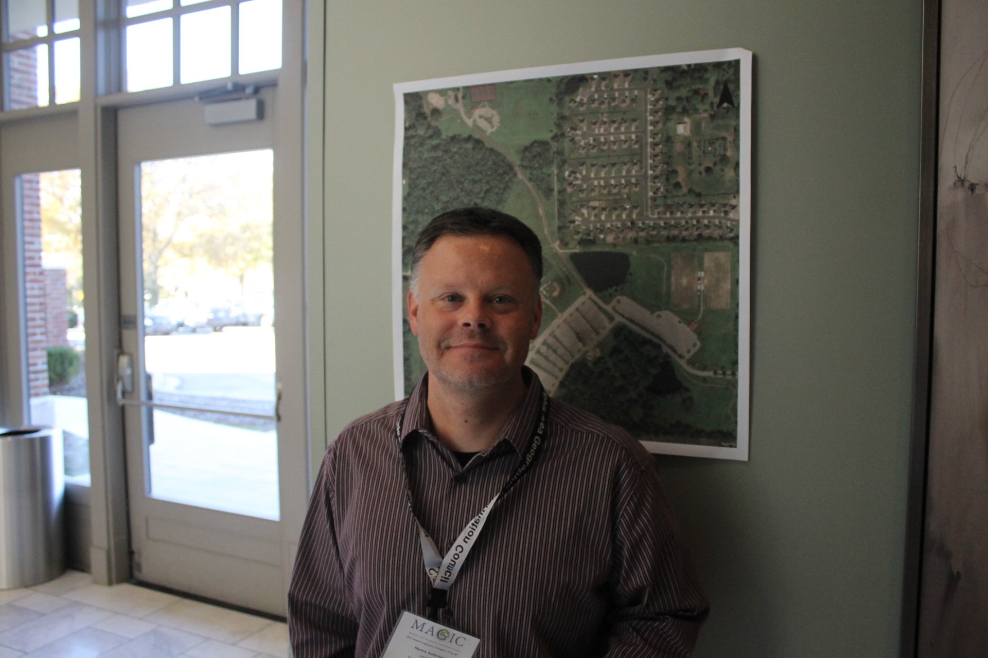
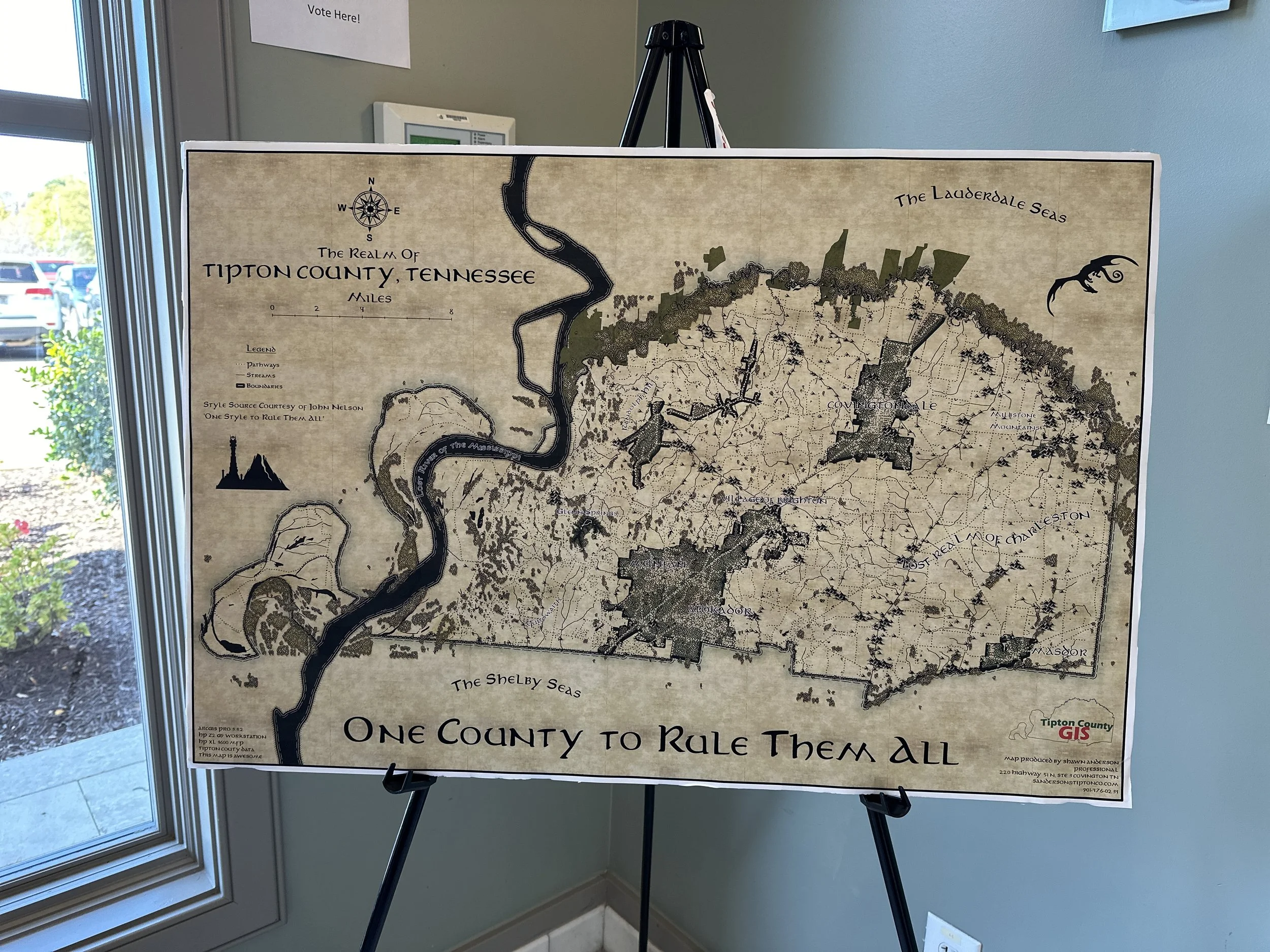
The 23rd Annual MAGIC Conference celebrated creativity and technical expertise in cartography during its highly anticipated Map Gallery Competition. This year’s winners, Shawn Anderson of Tipton County GIS and Ilayda Hacioglu of Delta State University, were recognized for their exceptional work in the professional and student categories, respectively. Each winner received a $150 prize. The Map Gallery Competition is one of the highlights of the MAGIC Conference, offering participants a platform to share their skills and inspire others in the geospatial community.
More than 100 geospatial professionals and students convened on November 21-22 for the 23rd Annual MAGIC Conference, a premier gathering focused on advancing Geographic Information Systems (GIS) and related technologies. Held at Reign Event Venue in Memphis, the event showcased the transformative power of GIS in managing resources, conducting critical spatial analyses, and pushing the boundaries of data visualization.
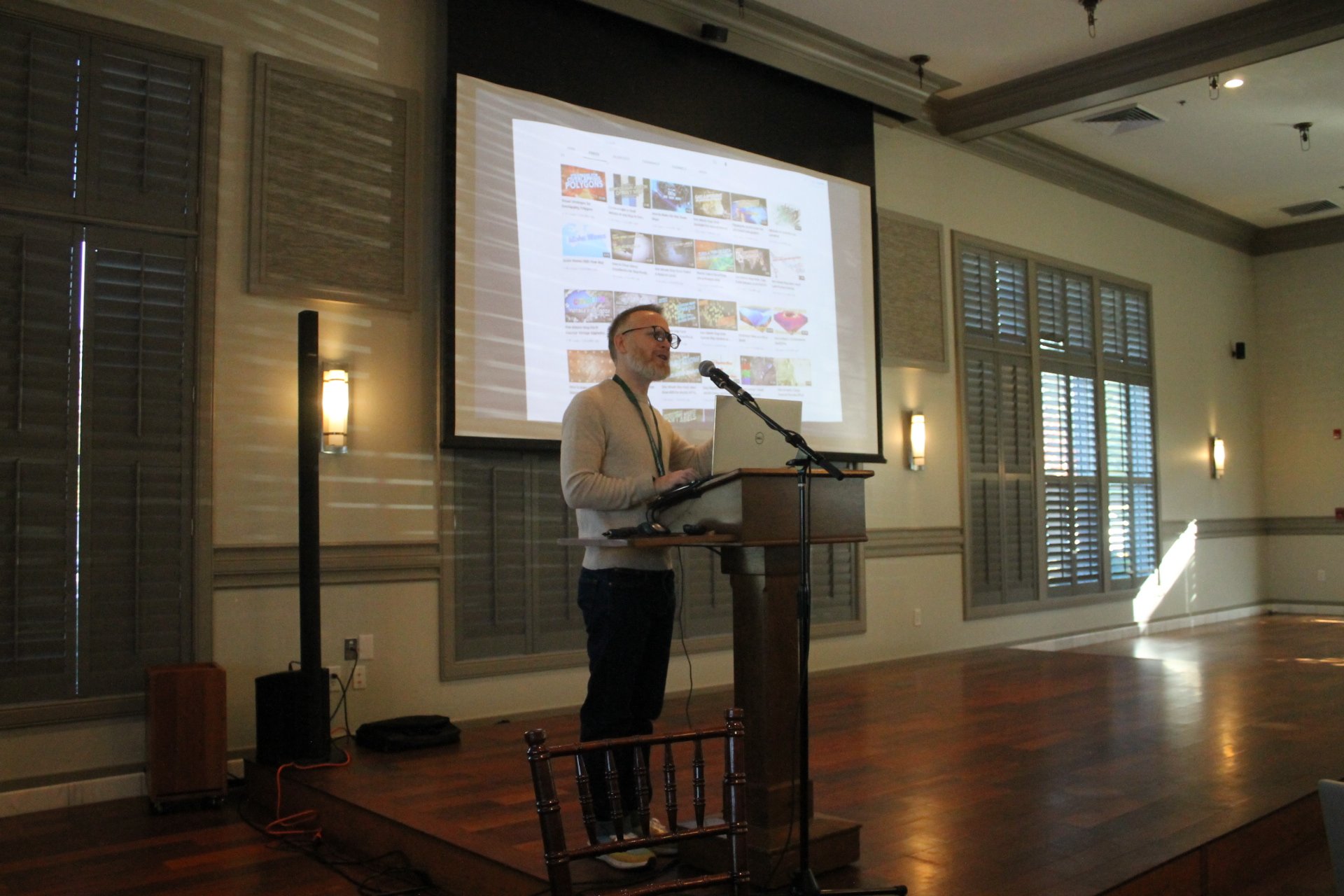
As Waldo Tobler stated, "Everything is related to everything else, but near things are more related than distant things", but what if we could use this wisdom and apply it to realms beyond the physical world? What if we could have a visual representation of the relationship between our datasets. This is to say, what if we could synthesize virtual space for phenomena which do not even exist in real space? How would they appear? What relationships would we discover? In this keynote, we dive into the future of visualization of our data using knowledge graphs, complex three dimensional symbologies, and virtual reality. Are you ready to see the future?
It was our great pleasure to award $2,500 in scholarships and awards at the inaugural Memphis Area Collegiate Geospatial Showcase, which took place last Friday, April 15, at University of Memphis Johnson Hall. Nearly a dozen Memphis area students had submitted presentation abstracts on GIS-related school projects to compete for the awards, and four finalists gave 15-minute presentations at the Showcase event. The first place finishers in each category (undergrad and graduate) won $1,000, and the runners-up each won $250.
First Place:
Parth Sinojia (Undergraduate, Rhodes College) - Equitable Access Mapping: Bridging Resource Gaps in Memphis Through GIS Analysis
Heather Clendenin (Graduate, University of Memphis) - Assessing landscape factors in the Lower Mississippi Alluvial Valley affecting geneflow of Ursus americanus
Runners-Up:
Jacob Ackerman (Undergraduate, Rhodes College) - Finding Breaches: Gaps in Data and the Memphis Aquifer
Leta Rowan (Graduate, University of Memphis) - Green Infrastructure and Urban Heat Islands: A Nature-Based Solution for Memphis
The event also featured a panel discussion focused on GIS skills and careers. A panel of GIS professionals from both the public and private sectors fielded questions and shared their advice and experiences with the student audience.
Panelists:
Arnisa Davis, PMP, GISP - Manager of Enterprise Resource Planning, Memphis Light, Gas, & Water (MLGW)
Megan Farrell - Planner, Memphis and Shelby County Division of Planning and Development
Terek Gatewood - GIS Analyst/Assistant Project Manager, Allworld Project Management
JT Malasri, PE - Founder and Principal EngineerFounder and Principal Engineer, Malasri Engineering, PLLC
Dr. Kate Shields - Assistant Professor of Environmental Studies and Sciences, Rhodes College
Scott Trapolino, GISP - Project Manager, Canopy Spatial
We are grateful to our panelists for generously donating their time, and to University of Memphis for hosting the event. We look forward to the Memphis Area Collegiate Geospatial Showcase becoming an annual event as we fulfill our mission of promoting the profession and education of GIS in the Memphis Area.
We are pleased to welcome all geospatially-inclined students and faculty in the greater Memphis area to participate in the inaugural Memphis Area Collegiate Geospatial Showcase!
When: Friday, April 12 from 2:30 - 5:00 PM
Where: University of Memphis - Johnson Hall
This showcase event offers an opportunity for college undergraduate and graduate students to demonstrate their GIS proficiency to an audience of GIS professionals in order to earn financial assistance towards their education and/or research, thanks to our generous members and sponsors. In this year’s event, MAGIC will grant $2,000 in scholarships and/or awards (depending on the student’s eligibility) in a competition open to both undergraduate and graduate students. Students from any college or university in the greater Memphis area will be welcome to participate, and participants will give a 15-minute presentation on a GIS-related project they’re working on.
We are delighted to announce the election of our officers for 2024 as well as the election of four new members and two student ambassadors to the board.
MAGIC officers for this year will be:
President: Lee Owens
Vice President/President-Elect: David Branson
Secretary: Mary Dubose
Treasurer: Shawn Anderson
Newly elected to the MAGIC Board of Directors for a three-year term are:
Carrie Baker
Haley Feather
Jessica Wallace
Lesley Rakestraw
Rounding out the MAGIC Board of Directors will be veteran board members:
Lauren Patterson
Rob Winkler
Scott Trapolino
Uday Bhanu Burrey
Finally, we've added two Student Ambassadors to the board:
Alyssa Huffman (University of Memphis)
Andrew Humphreys (Delta State University)
Best wishes to everyone for the year ahead!
- The MAGIC Board of Directors


